|
|
|||||||||||||||
|
Landmarks ~
Churches ~
Pubs ~
Shops ~
Amenities ~
Dwellings ~
Events ~
Schools ~
Sports
Industrial ~ Transport ~ Folklore ~ Families
~ History ~
Old Maps
~ Aerial View 1962
~ Streets
~ Places
~ Typhoid Epidemic
~ Nailers
~ Snips
Census Enumeration ~ Bounds ~ Biblio ~ Sources
Local Enumeration District Route Descriptions in the 1861 Census
This census was taken on Sunday 7th April.
Lower Gornal District
1861 Enumeration District: 12 Lower Gornal.
Enumerator: Mr Edwin Addenbrook.
Boundary of Enumeration
1861 Enumeration District: 13 Lower Gornal.
Enumerator: Mr Edward Oakley
Boundary of Enumeration
Notes:
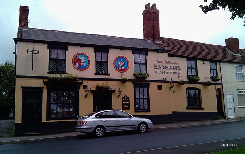
Waggon & Horses Inn
1861 Enumeration District: 16 Lower Gornal.
Enumerator: Joseph Law
Boundary of Enumeration
Notes:
1861 Enumeration District: 17 Lower Gornal.
Enumerator: Thomas Addenbrook
Boundary of Enumeration
Notes:
The Swan Colliery
1861 Enumeration District: 18 Lower Gornal.
Enumerator: Mr Richard Oakley
Boundary of Enumeration
Notes:
'Masons End' is the area around Abbey Road. Joshua Cartwrights's House was The White Chimneys Inn. Mr Guest's House was The Old Bulls Head Inn Limerick Inn; Bulls Head Inn
1861 Enumeration District: 19 Lower Gornal.
Enumerator: Mr Thomas Timmins
Boundary of Enumeration
1861 Enumeration District: 20 Lower Gornal.
Enumerator: Mr Oakley
Boundary of Enumeration
Notes:
1861 Enumeration District: 21 Lower Gornal.
Enumerator: Mr John Hughes
Boundary of Enumeration
~
Upper Gornal District.
1861 Enumeration District: 6 Upper Gornal.
Enumerator: Joseph Smith.
Boundary of Enumeration
Notes:
Bull and Butcher Inn
1861 Enumeration District: 7 Upper Gornal.
Enumerator: Mr. James Ritson
Boundary of Enumeration
Notes:
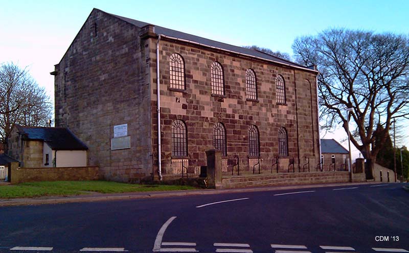
Ruiton Independent Chapel
1851 Enumeration District: 8 Upper Gornal.
Enumerator: Mr Joseph H. Jenkins
Boundary of Enumeration
1861 Enumeration District: 9 Upper Gornal.
Enumerator: Mr John Peacock.
Boundary of Enumeration
1861 Enumeration District: 10 Upper Gornal.
Enumerator: Mr Henry Fullwood.
Boundary of Enumeration
1861 Enumeration District: 11 Upper Gornal.
Enumerator: Mr John Guest.
Boundary of Enumeration
~
|

|
||||||||||||||
 *NEW*
*NEW*