
|

|
|
|
Landmarks ~
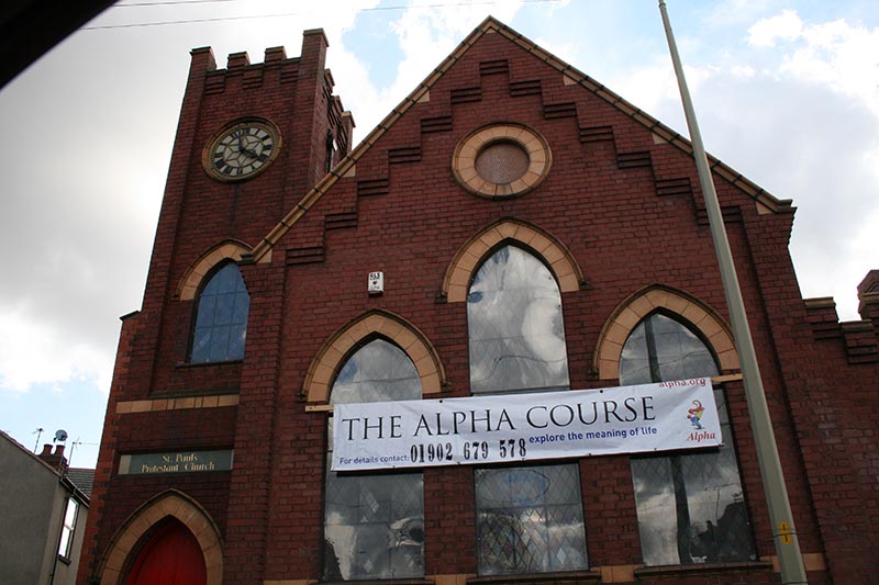
Churches ~
Pubs ~
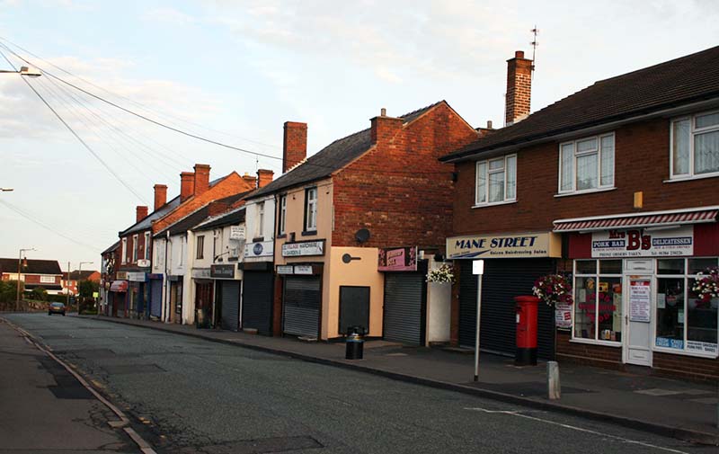
Shops ~
Amenities ~
Dwellings ~
Events ~
Schools ~
Sports
Industrial ~ Transport ~ Folklore ~ Families
~ History ~
Old Maps
~ Aerial View 1962
~ Streets
~ Places
~ Typhoid Epidemic
~ Nailers
~ Snips
Census Enumeration ~ Bounds ~ Biblio ~ Sources
Old Maps of Gornal
Until the first large scale Ordnance Survey, maps of the area were rather sparse and not
always greatly detailed.
However these old maps still hold information open to interpretation.
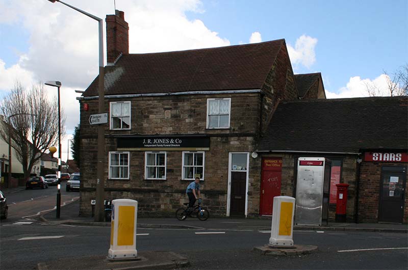
This is a small section of Lower Gornal based on the Staffordshire Tithe Map of 1844, with enhanced detail

The map is centered on the Five Ways area of Lower Gornal.
Notes:
This map shows the triangle formed by Church Street, Lake Street and Humphrey Street, and also Ruiton Street heading North
with a large cluster of dwellings along.
Tithe field names have been added, some of them interesting; 'Siden Hill', and 'Furlong' giving name to
Furlong Walk.
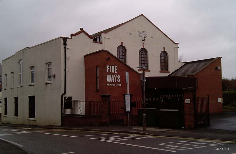
Some of the early buildings which are still standing are shown; the Five Ways Inn,
and St James' Church,
and possibly the Horse and Jockey (Black Bear) at Deepdale.
~
This is a very small section of a larger map of the Midlands area, although not in detail,
shows the Gornal area in 1816.

Notes:
Interestingly -the modern spelling of both Upper and Lower Gornal
is used.
'Elwell' is possibly pointing to a prominent dwelling, Ellwell was a local gentry name, there are also a number of freshwater springs in that area.
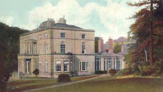
The map shows part of Stickley Lane that led to what appears to a dwelling with large garden and orchards. This must be 'Ellenvale', it appears to be located about where the Ellowes School playing fields are now, the Ellowes Hall was built nearby a little bit later.
Turners Hill is clearly shown.
'Robert Street' was not there in 1816, only four ways at what is now the Five Ways junction.
The population of Lower Gornal was mostly distributed along both sides of Ruiton Street.
"Gornal Wood" is shown as a quite densely populated with a myriad of small streets.
'Gornal Chapel' as St James was to become, work on the church started in 1815.
The obsolete spelling of 'The Streights' is used. "Roberts Green" & "Graveyard" are shown, note spelling of "Dipdale Bank" ~
A snip from 'An Improved Map of Staffordshire' by Bowen 1749.

Notes:
Upper Gornal shown as 'Old Gournall'.
Ruiton as Ranton, and shows what appears to be a windmill.
Lower Gornal as 'New Gournall' and 'Cot Wall'
In the margin it states: "At Himley there is a Blade Mill where scythes and reaping tools are ground to a fine edge".
~
A local snip from 'Yates map of Staffordshire, 1775'.
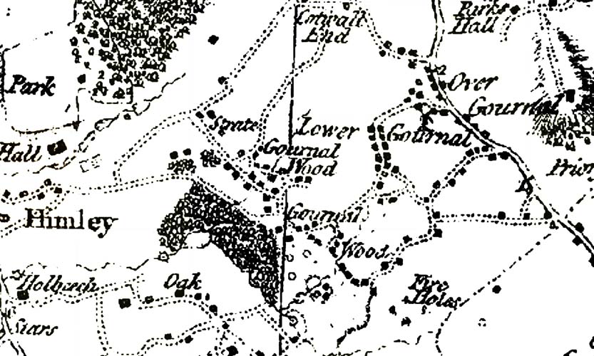
Notes:.
Marked on Yates map of 1775, 'Over Gournal', 'Lower Gournal' (but strangely not Ruiton).
'Gournal Wood' is labeled for the first time (twice). The Straits is written as 'Strate'. Although the roads are not labeled, the principal through roads around Gornal are now taking shape, with Redhall Road leading from Himley Road towards Humphry Street, Lake Street and Ruiton Street onward towards Upper Gornal. Also shown are Louise Street, Cotwall End Road and Straits Road leading to Sandyfields Road and High Arcal Road. To the East, Dibdale with Deepdale and Jews Lane, and Bagleys Lane towards Dudley are shown. Dwellings are indicated by small 'blobs', but with somewhat uncertain accuracy. ~

A section of a road map from Bowle's Travel Directory of 1782
probably based on an earlier map.
The map shows the old drover (Himley) road from Dudley heading towards Himley and westward towards mid-wales.
The coal pits around along the Himley Road at Russels Hall, Gornal and Pensnett area are shown.
'Garnet-Hall'! was this a misunderstanding for 'Gornal' or Gwuarnel?
As yet, no other reference to 'Garnet Hall' has been found, however a document from 1579 mentions Nethergarneshull [Lower gornal] and Overgarneshull [Upper Gornal].
The numbers thereon probably is millage from London?
~
For copywrite reasons it is not possible to display views of the
maps created by the Ordnance Survey on the site, however
below is a link to an external site that allows you to explore O/S maps.
The interactive map is c1886 and based on the 25" series, it is provided by the National Library of Scotland to their great credit. The view in the link has already set to 1886 Gornal Wood. The map includes a modern aerial view overlay with variable transparency, and can be panned and zoomed with a really slick interface. If you like looking at old maps this is a 'must do'.
BUT..."dow ferget t' cum back 'ere".
~
|


|