
|

|
||||||||||||||||||||||||||||||||||||||||||||||||||||||||||||||||||||||||||||||||||||||||||||||||||||||||||||||||||||||||||||
|
Landmarks ~
Churches ~
Pubs ~
Shops ~
Amenities ~
Dwellings ~
Events ~
Schools ~
Sports
Industrial ~ Transport ~ Folklore ~ Families
~ History ~
Old Maps
~ Aerial View 1962
~ Streets
~ Places
~ Typhoid Epidemic
~ Nailers
~ Snips
Census Enumeration ~ Bounds ~ Biblio ~ Sources
The Streets of Lower Gornal
The roads and streets of Lower Gornal, their past status.
This list does not include modern street names or those outside of the district. Unless otherwise noted all these street names were listed in the 1871 Electoral Roll, earlier Census or other reliable sources.
Included are dates found of earliest references to named streets, roads etc..
It appears that before 1871, not many actual road names existed, whereas landmarks, areas, houses, pubs, etc., were usually used for directions and locations.
Other Streets named early 20th Century:
Gatacre Street Stickley Lane
In the southern part of the Parish, some of the old roads were stopped up in mid 19th Century and replaced
with a single road leading from Shut End to Lower Gornal in a more direct route:-
The Old Furnace Road. Coney Gree Bank Road. Bennitt's Warehouse Road, (390 yards long). Bennitt's Warehouse:- 'converted into and occupied as schools in connection with Lower Gornal Church'. Shut End Bank Road. Guy's Lane.
1882. Graveyard Road, a light-hearted albeit terse postscript in the Dudley and District
News. However, the comments fell on deaf ears as the name wasn't changed for many decades after.
~
|

|
|||||||||||||||||||||||||||||||||||||||||||||||||||||||||||||||||||||||||||||||||||||||||||||||||||||||||||||||||||||||||||

 *NEW*
*NEW*
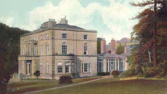
 Memorial Hall
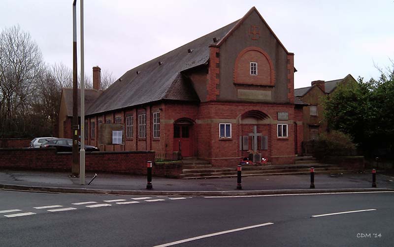
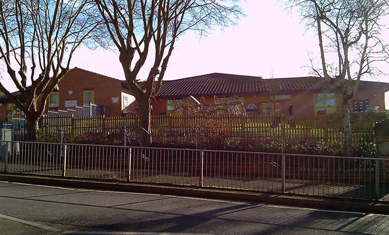 Schools
 Pubs
Pubs