
|

|
||||||||||||||||||||||||||
|
Landmarks ~
Churches ~
Pubs ~
Shops ~
Amenities ~
Dwellings ~
Events ~
Schools ~
Sports
Industrial ~ Transport ~ Folklore ~ Families
~ History ~
Old Maps
~ Aerial View 1962
~ Streets
~ Places
~ Typhoid Epidemic
~ Nailers
~ Snips
Census Enumeration ~ Bounds ~ Biblio ~ Sources
Local Enumeration District Route Descriptions in the 1901 Census.
This census was taken on the Sunday 31st March.
House numbering is now very obvious in the 1901 Census route descriptions.
Lower Gornal.
1901 Enumeration District: 11 Lower Gornal Villiage (Part of).
Enumerator: Benjamin Oakley.
Boundary of Enumeration
Notes:
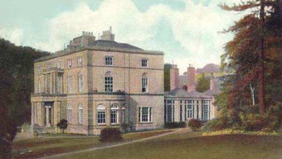
Foster's Farm
1901 Enumeration District: 12 Lower Gornal Villiage (Part of).
Enumerator: J.W.Thomas.
Boundary of Enumeration
Notes:
Baptist Church
1901 Enumeration District: 13 Lower Gornal Villiage (Part of).
Enumerator: Thos E Fellows.
Boundary of Enumeration
1901 Enumeration District: 14 Lower Gornal Villiage (Part of).
Enumerator: S. Wasdell.
Boundary of Enumeration
Notes:
1901 Enumeration District: 16 Lower Gornal Villiage (Part of).
Enumerator: David Culbourne.
Boundary of Enumeration
Notes:
1901 Enumeration District: 16a Lower Gornal Villiage (Part of).
Enumerator: George Round.
Boundary of Enumeration
Notes:
Bulls Hean Inn
1901 Enumeration District: 17 Lower Gornal Villiage (Part of).
Enumerator: David Culbourne.
Boundary of Enumeration
Notes:
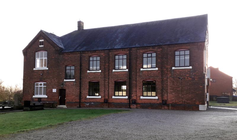
Collins Brick & Tile Works.
Upper Gornal.
1901 Enumeration District: 5a Upper Gornal Village (Part of).
Enumerator: ?.
Boundary of Enumeration
Notes:
1901 Enumeration District: 6 Upper Gornal Village (Part of).
Enumerator: William H Potts.
Boundary of Enumeration
Notes:
1901 Enumeration District: 7 Upper Gornal Village (Part of).
Enumerator: Mr Stephen Cox.
Boundary of Enumeration
Notes:
Roberts Green Farm"
1901 Enumeration District: 8 Upper Gornal Village (part of).
Enumerator: Mr William Henry Waterfield.
Boundary of Enumeration
1901 Enumeration District: 10 Cotwallend Village entire.
Enumerator: Mr Abel N. Pugh.
Boundary of Enumeration
Notes:
~
|

|
|||||||||||||||||||||||||
 *NEW*
*NEW*