
|

|
|||||||
|
Landmarks ~
Churches ~
Pubs ~
Shops ~
Amenities ~
Dwellings ~
Events ~
Schools ~
Sports
Industrial ~ Transport ~ Folklore ~ Families
~ History ~
Old Maps
~ Aerial View 1962
~ Streets
~ Places
~ Typhoid Epidemic
~ Nailers
~ Snips
Census Enumeration ~ Bounds ~ Biblio ~ Sources
Local Enumeration District Route Descriptions in the 1841 Census
This census was taken on Sunday 6th June.
The first Census of England took place in June 1841,
the entries are briefer than in later Census and the Enumerator's
districts covered are less detailed.
Lower Gornal District
1841 Enumeration District: 7 Lower Gornal.
Enumerator: Joseph Cartwright.
Boundary of Enumeration
Notes:
1841 Enumeration District: 8 Lower Gornal.
Enumerator: Joseph Beale.
Boundary of Enumeration
Notes:
'Masons End' was the area around about Abbey Road.
1841 Enumeration District: 9 Lower Gornal.
Enumerator: John Fellows.
Boundary of Enumeration
Notes:
Upper Gornal District.
1841 Enumeration District: 10 Upper Gornal.
Enumerator: Henry Hall.
Boundary of Enumeration
1841 Enumeration District: 11 Upper Gornal.
Enumerator: William Hilton.
Boundary of Enumeration
Notes:
1841 Enumeration District: 12 Upper Gornal.
Enumerator: Thomas Wolverson.
Boundary of Enumeration
Notes:
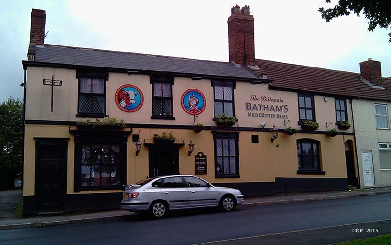
Britannia Inn ~
|

|
||||||
 *NEW*
*NEW*