
|

|
|||||||
|
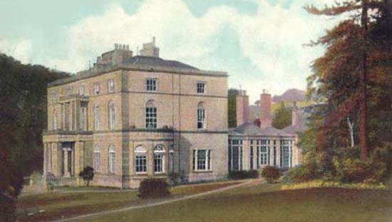
Landmarks ~
Churches ~
Pubs ~
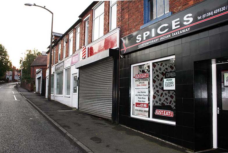
Shops ~
Amenities ~
Dwellings ~
Events ~
Schools ~
Sports
Industrial ~ Transport ~ Folklore ~ Families
~ History ~
Old Maps
~ Aerial View 1962
~ Streets
~ Places
~ Typhoid Epidemic
~ Nailers
~ Snips
Census Enumeration ~ Bounds ~ Biblio ~ Sources
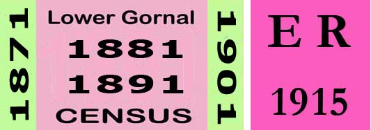
Local Enumeration District Route Descriptions in the 1881 Census
This census was taken on Sunday 3rd April.
The introduction of street and road names and the occasional use of House numbering in the 1881 description are
notable.
Lower Gornal District
1881 Enumeration District: 50 Lower Gornal.
Enumerator: Mr James M. Davar.
Boundary of Enumeration
Notes: Changes from 1871 route, Park Street now Vale Street, some shop owners names
have changed, Barrow's Farm renamed as Fosters Farm.
Henry Smith's House was the Duke William.
1881 Enumeration District: 51 Lower Gornal.
Enumerator: Mr Isaac Williams.
Boundary of Enumeration
Notes:
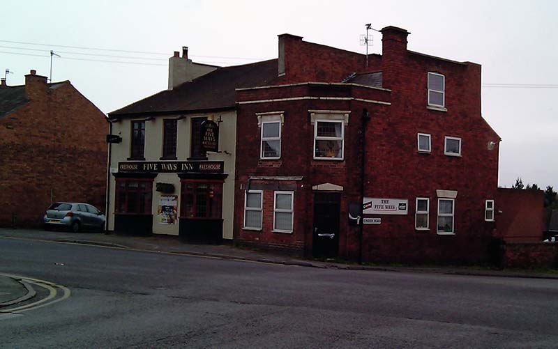
Changes from the 1871 route, 'Coseley Road' mentioned in 1871, is now called Robert Street. Joseph Waterfield owned the Five Ways Inn. Mr.Goulds was Petworth House A good number of new houses in this area had been built during previous ten years.
1881 Enumeration District: 55 Lower Gornal.
Enumerator: Mr J.R. Harthill
Boundary of Enumeration
Notes:
Toll Gate House
1881 Enumeration District: 56 Lower Gornal.
Enumerator: Mr Thomas Griffin.
Boundary of Enumeration
Notes:
1881 Enumeration District: 57 Lower Gornal.
Enumerator:
Boundary of Enumeration
Notes:
1881 Enumeration District: 59 Lower Gornal.
Enumerator: Mr John Davies
Boundary of Enumeration
Notes:
Junction Inn ~
|

|
||||||
 *NEW*
*NEW*